Shared projects
Get invited into a client's project, or share one of yours with them. Cross-organisation access by share handle or email, with contractor (edit) or viewer (read-only) roles, and no extra logins on anyone's tenant.
If you own physical infrastructure, your map, your inspections, your work orders, and your dashboards live in different systems that were never designed to share a record. Stratumly holds all of it in one place.
The problem
The platform
Pillar 0 is the asset register every operator runs day to day. Pillars 1 and 2 are the high-value workflows that sit on top of the same record.
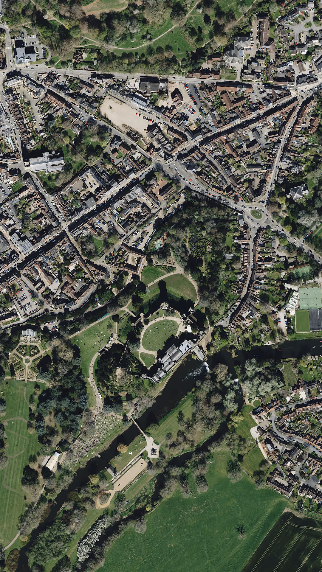
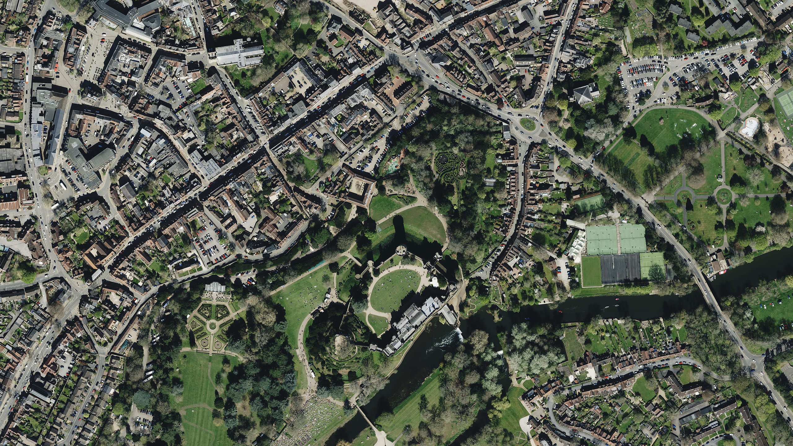
Stratumly's Spatial Data Platform is the horizontal foundation: user-defined feature layers, 2D web maps, a form builder for field capture, operational dashboards, and spatial analysis. Everything an operator needs to know what they own and what's happening to it.
Upload drone, LiDAR, and photogrammetry surveys. View them in 3D, run AI defect detection, collaborate in real time, and generate compliance reports, feeding new data straight back into your asset register.
Fuse LiDAR, photography, BIM/IFC, and live IoT sensor feeds into a living, editable 3D replica of any physical asset. Edit geometry, run simulations, generate work orders, and watch the twin update in real time.
See it in action
Run the whole operation in one place: the register on the map, the dashboards over it, and survey review feeding work orders back to the field.
Illustrative product views. Sample data shown.


Feature layers for any asset, spatial analysis, and work orders raised straight from the map.

Open defects, mean time to repair, SLA and coverage, with dashboard templates per sector.

Bring drone and LiDAR surveys in, review candidate defects with confidence scores, accept one and raise a work order in a click.
Who it is for
From regional water utilities to county highways and large estates, Stratumly is shaped to mid-market operational reality.
New
Stratumlynow works for contractors and managed-service providers: the teams that maintain other organisations’ assets. Share a single project across organisations, keep clients in the loop, and move work between tenants as contracts change, all on the same record.
Get invited into a client's project, or share one of yours with them. Cross-organisation access by share handle or email, with contractor (edit) or viewer (read-only) roles, and no extra logins on anyone's tenant.
Give an end client a read-only portal for a project's dashboard, files and activity. No Stratumly account needed, just a secure link you can rotate or revoke at any time.
Dispatch, pick up and complete work orders on every site you are shared into, on web and mobile, with per-share control over who is allowed to approve and sign off.
Hand a project and all its data to a client when a contract changes hands. A contractor share is kept automatically, so your team carries on working without missing a beat.
Built-in starting points for managed-service work, from grounds maintenance to facilities: tree and grounds registers, play-area and sports-pitch inspections, grass-cutting and pesticide logs.
We’ll bring a working platform pre-loaded with a sample of your asset data, so you can see exactly how it would feel in production.